Projects: sediment terrain wood basin reach
Sediment Sources
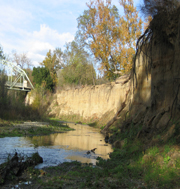
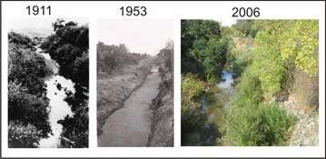
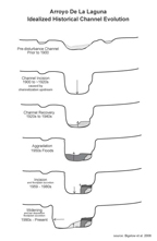
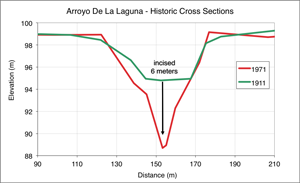
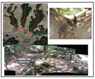
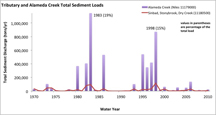
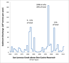
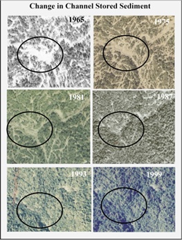
These projects address questions such as: where is the sediment coming from? What are the dominant erosion processes? When does most of the erosion occur? Are the sources controllable? Studies to answer these questions involve various components of GIS terrain mapping, fieldwork, and hydrologic and historical analysis. Assessments can range from qualitative reconnaissance to more quantitative sediment budgets covering sediment sources and rates from historic incision and bank erosion in urban environments to mass wasting, post-fire gully erosion, and road surface erosion in steeper forested basins.
Sediment source gallery:
Links to sediment source studies:
Bigelow, P., Benda, L., and S. Pearce. 2016. Delineating incised stream sediment sources within a San Francisco Bay tributary basin. Earth Surface Dynamics 4: 531-547.
Bigelow P., L. Benda, S. Pearce, K. Andras, J. Beagle, J. Kass, and L. McKee. 2012. Geospatial terrain analysis of sediment sources within the Arroyo Mocho watershed. Prepared for the Zone 7 Water Agency.
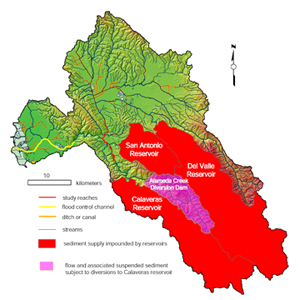
Bigelow P., S. Pearce, L. McKee, and A. Gilbreath. 2008. A sediment budget for two reaches of Alameda Creek (including Arroyo De La Laguna). Prepared for the Alameda County Flood Control District.
Pearce S., Bigelow P., and L. McKee. 2009. Sediment source reconnaissance for Dry Creek watershed. Prepared for the Alameda County Flood Control District.
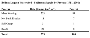
Bigelow P. and J. Gerstien. 2001. Bolinas Lagoon watershed study input sediment budget (sediment budget sections 3 – 5 only). Prepared by Tetra Tech for the US Army Corps of Engineers.
Projects: sediment terrain wood basin reach

