Geospatial Terrain Analysis
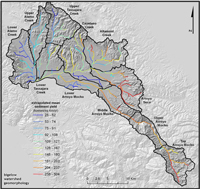
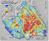
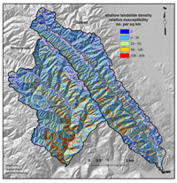
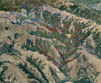
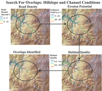
Geospatial terrain analysis provides spatially registered and largely automated mapping of watershed attributes that govern erosion, network, valley and channel morphologic types, and sources of riverine habitat heterogeneity over a range of spatial scales. Hillslope attributes, such as erosion potential (sediment supply), road density and stream crossings, etc. can be aggregated down to the reach scale and accumulated downstream to reveal patterns across multiple scales. Watershed attributes are aggregated up to subbasin scales, allowing comparative analyses across large watersheds and landscapes. We use a desktop watershed analysis system that contains approximately 100 parameters and 70 analysis tools (NetMap, Benda et al. 2007). Our recent terrain analyses have delineated sediment sources driven by steep and convergent terrain and estimated the relative contribution of tributary basins to the overall basin sediment yield. These projects identify and quantify which portions of a watershed are more erodible, incised, and prone to landslides and debris flows.
Terrain analysis gallery:Links to terrain analysis studies:


